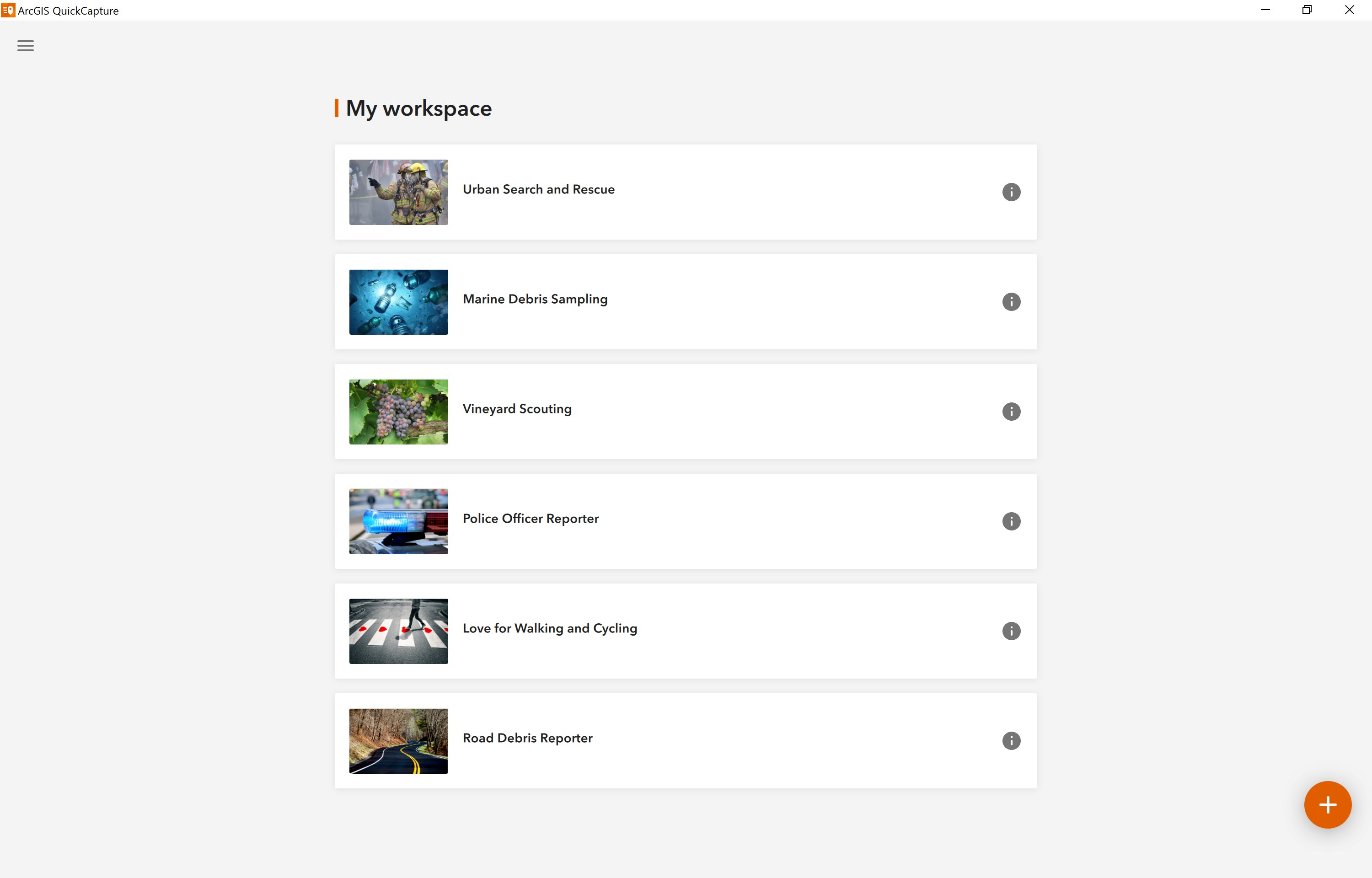
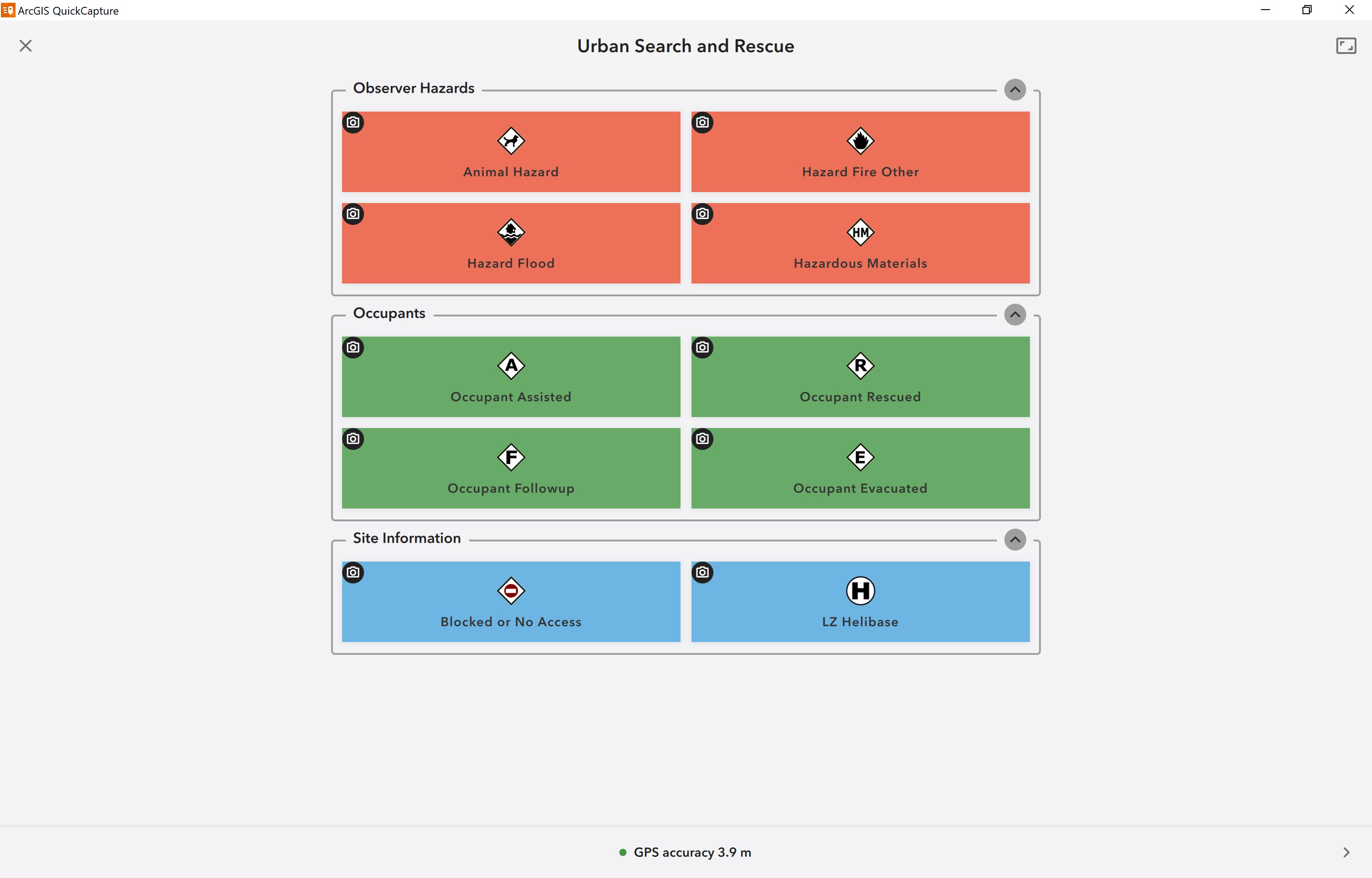
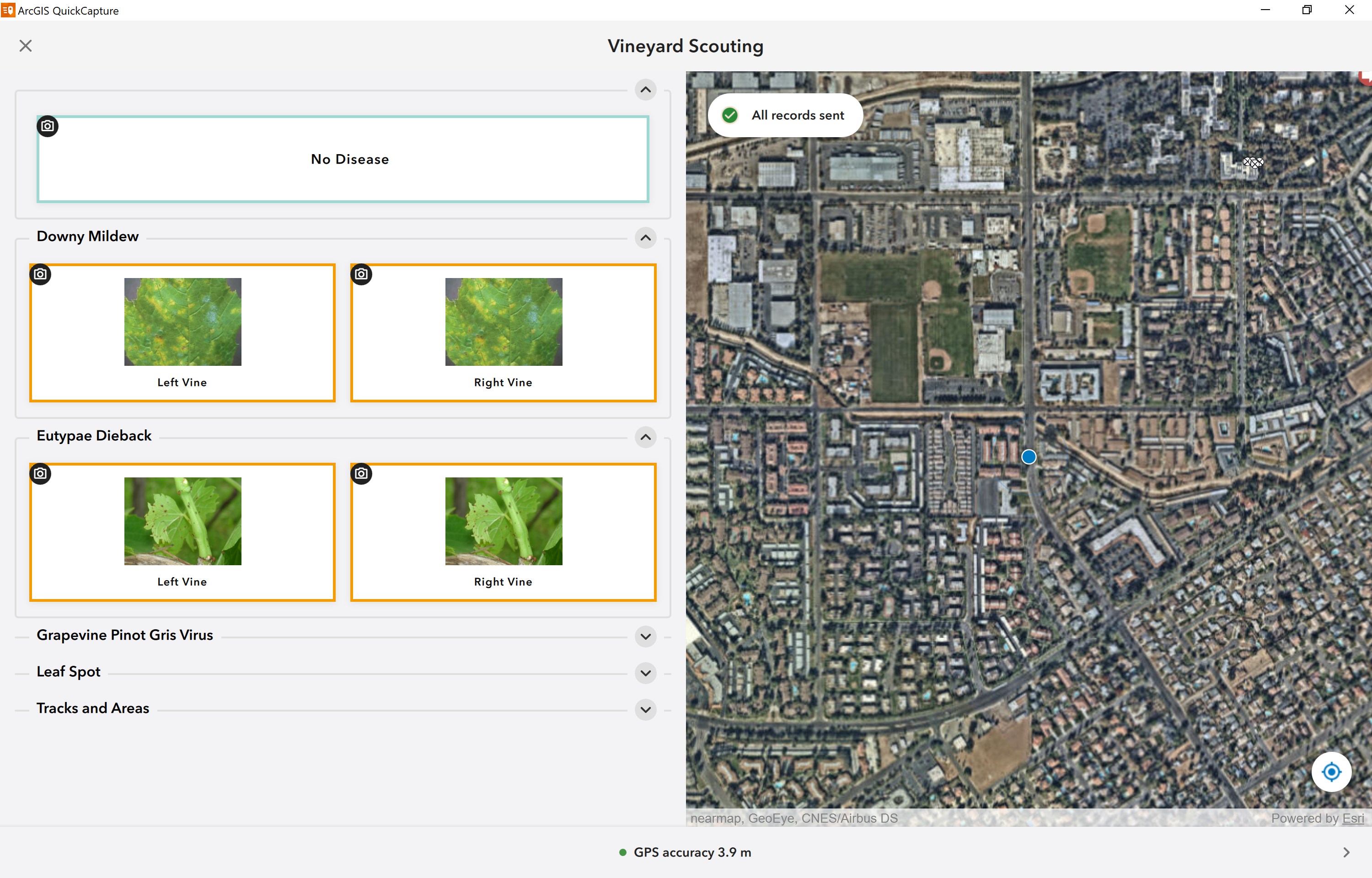
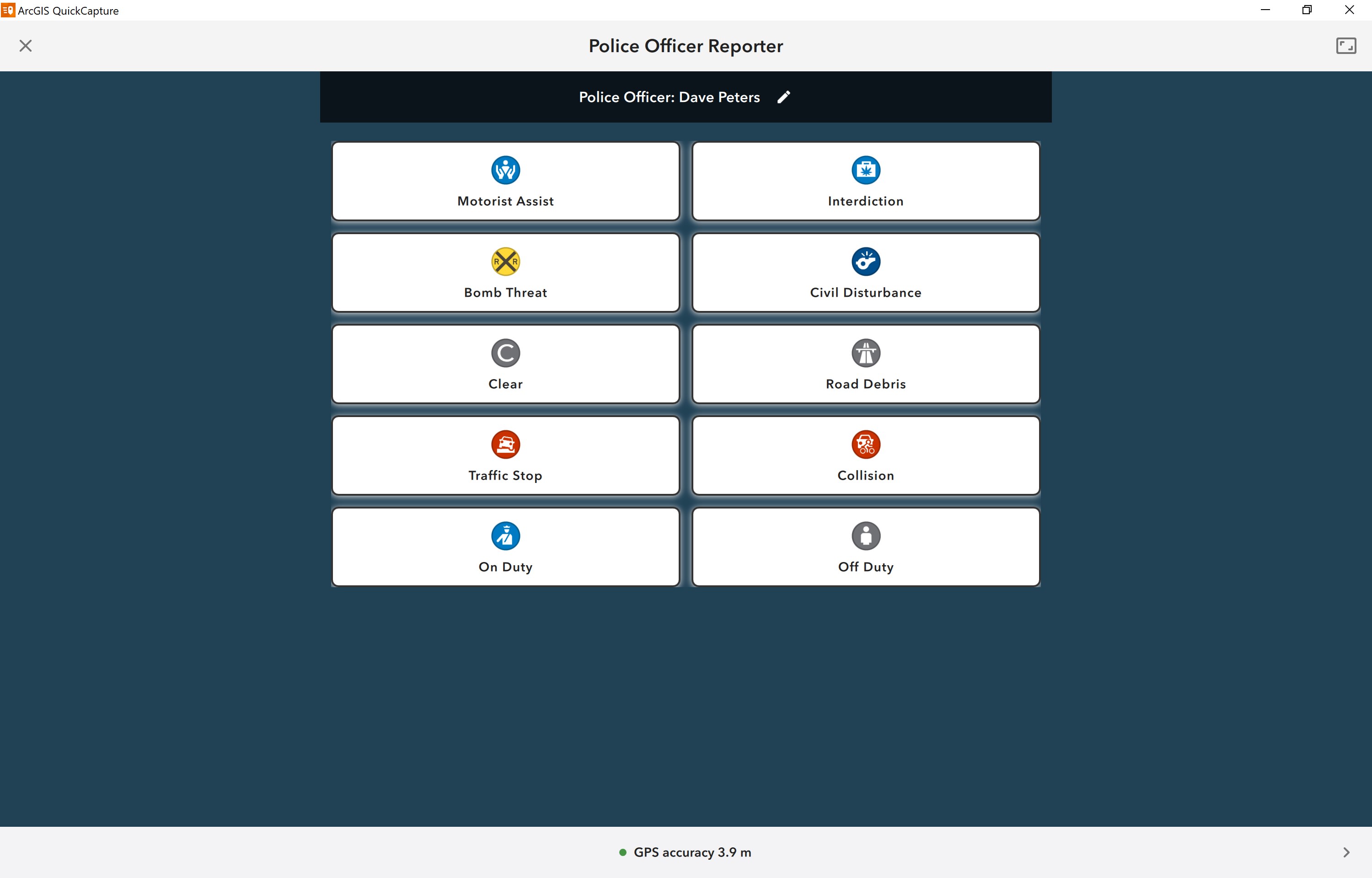
ArcGIS QuickCapture is the fastest way to collect field observations. With this time saving app, you can record GIS points and other attributes while you scout locations, conduct aerial surveys, or assess damage from a moving vehicle. Capture data at-speed with the touch of a button.
Productivity · Windows, iPhone, iPad, Android · Free
Rating: 4.3 out of 5, based on 35 user ratings.