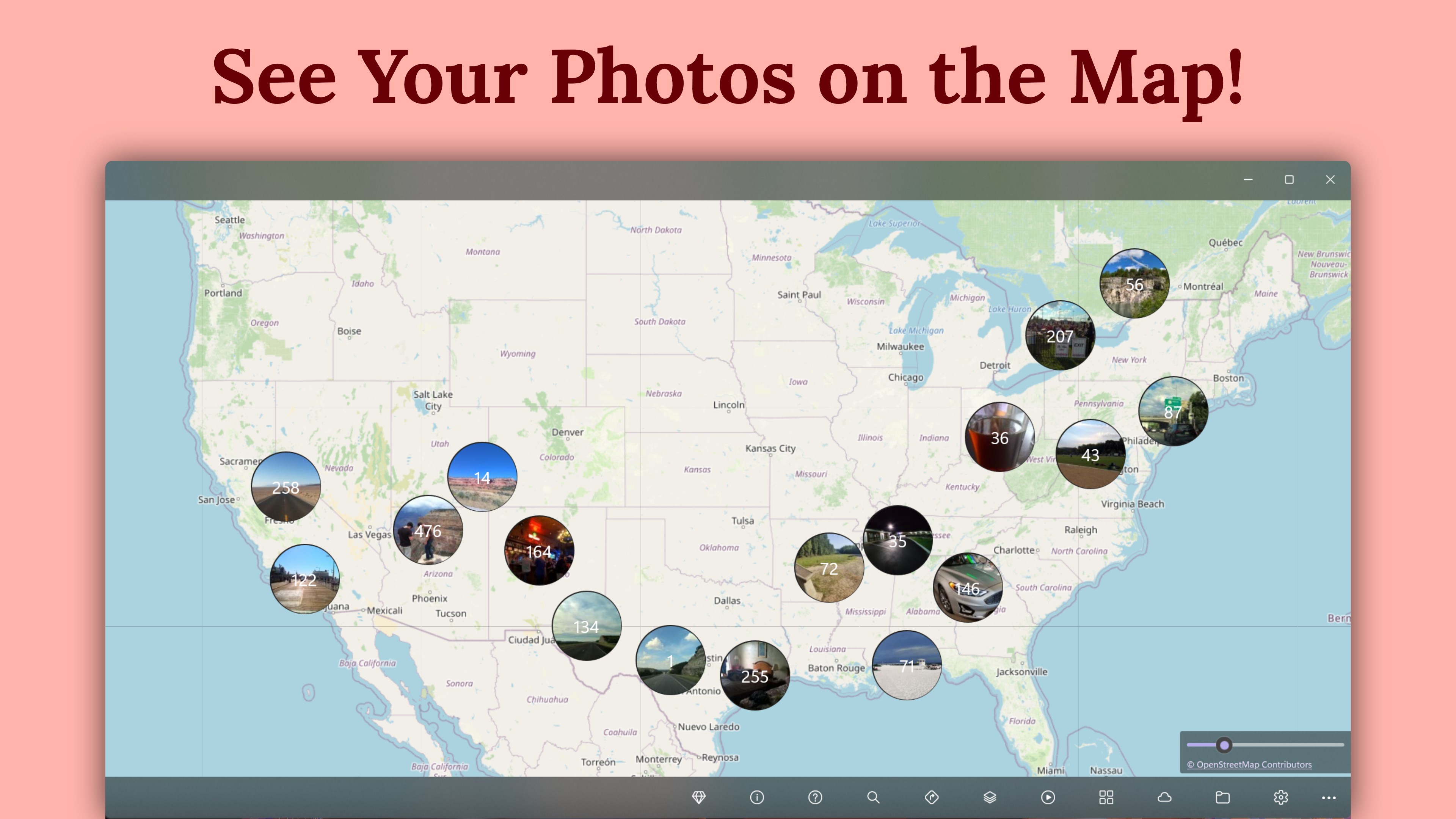
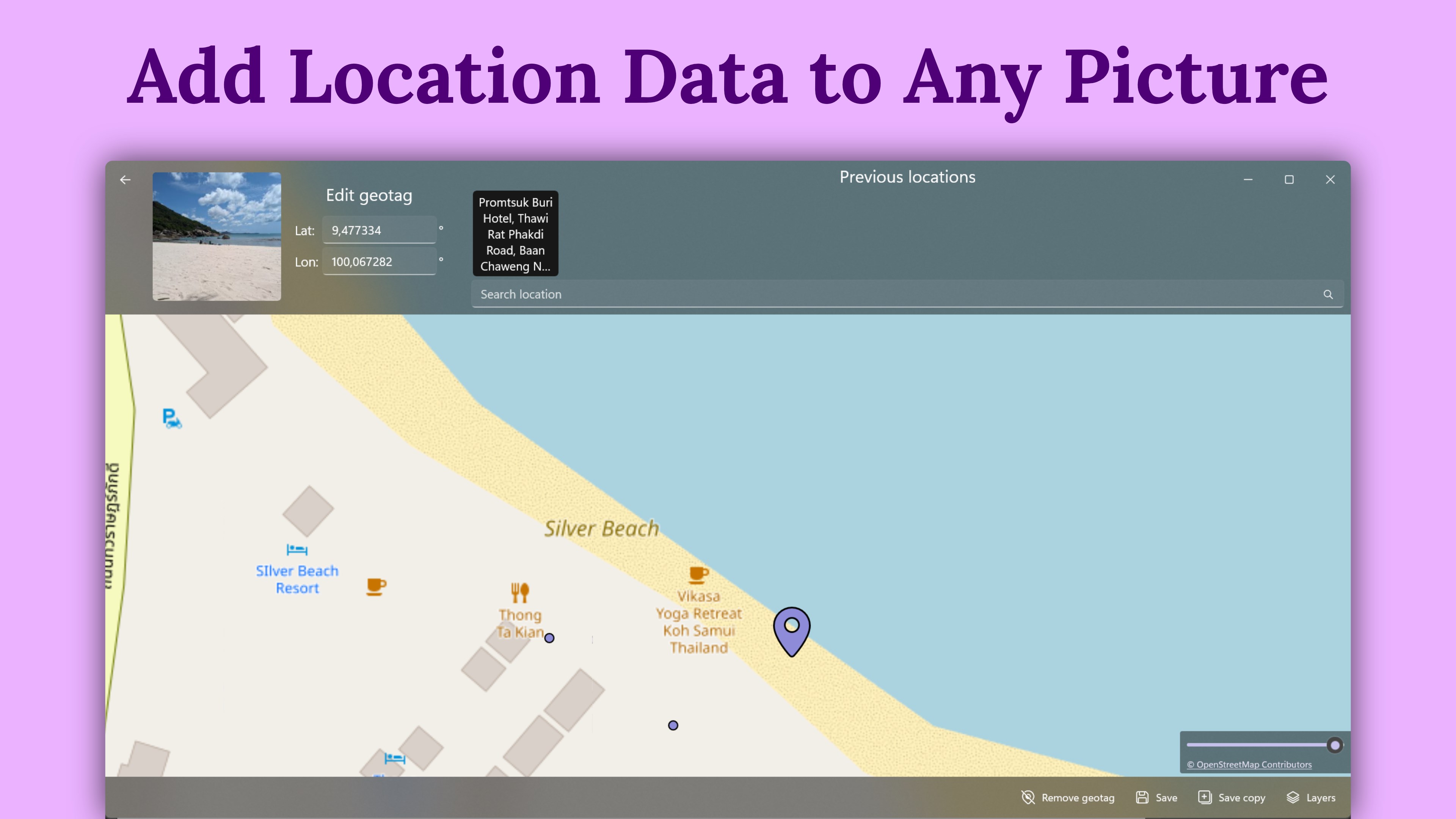
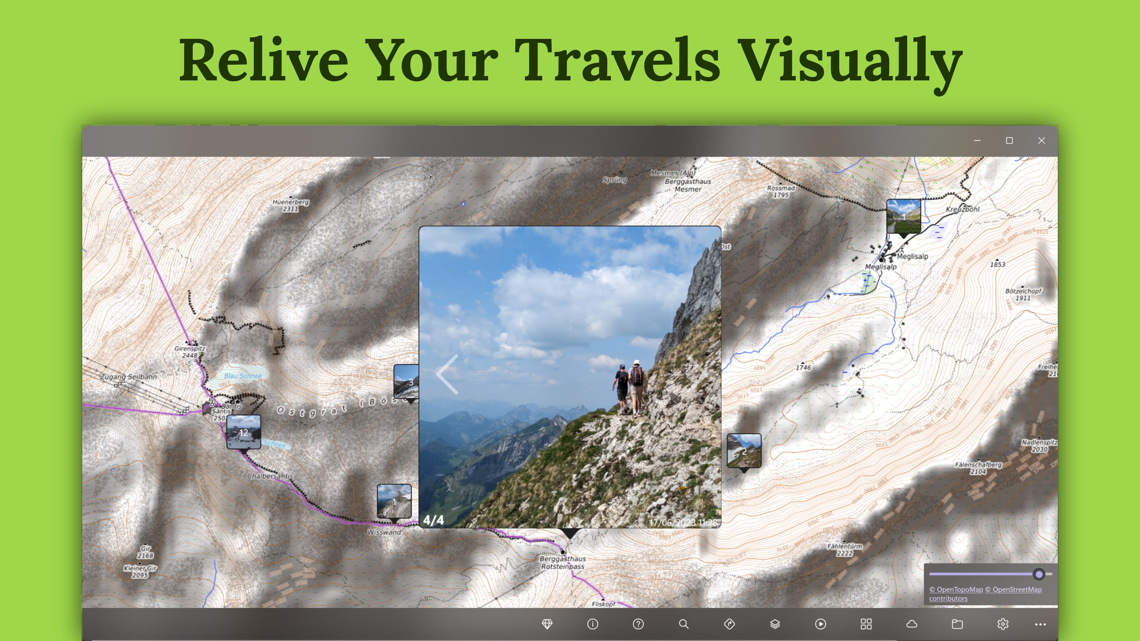
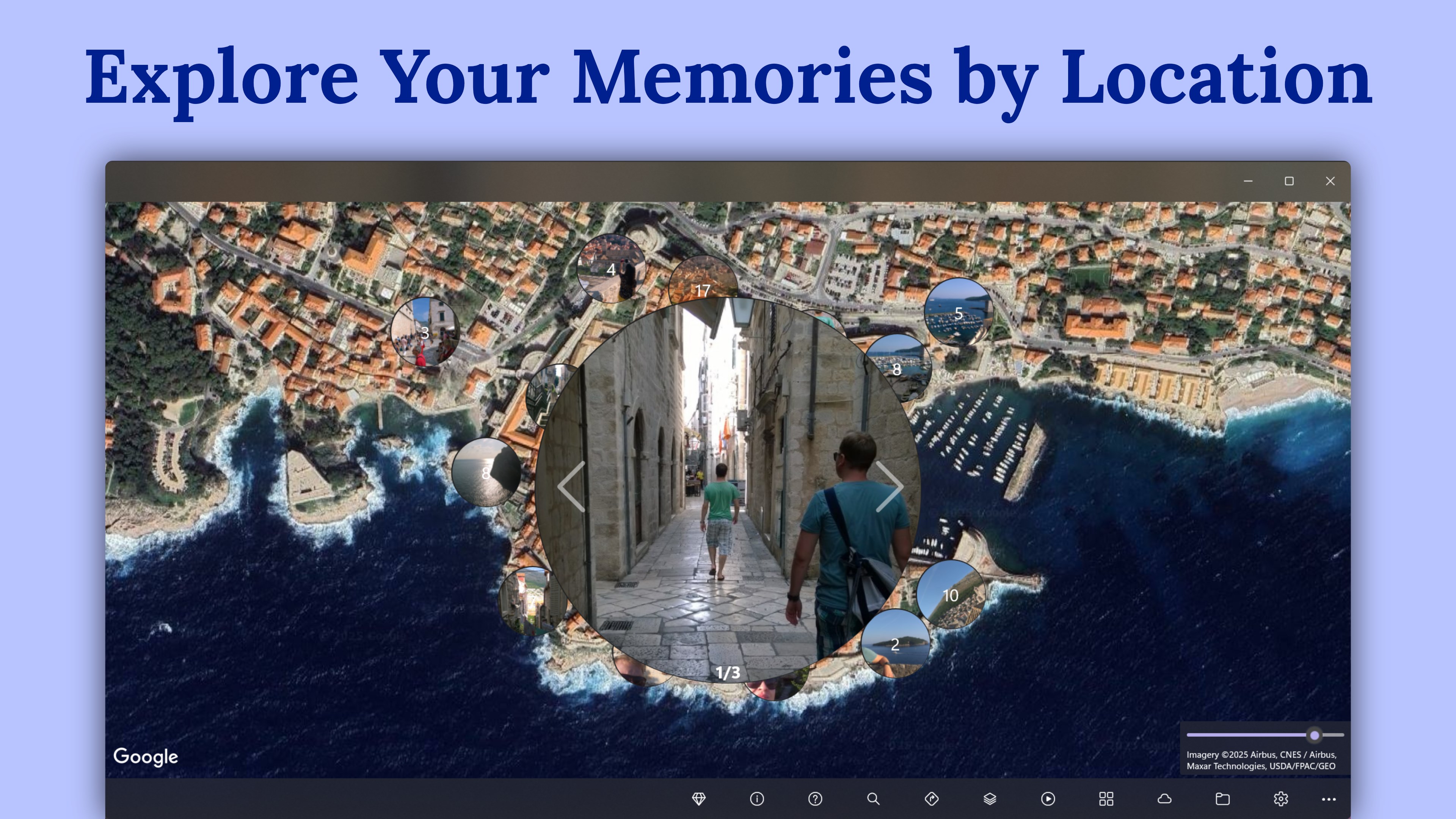
See where your photos and videos were captured, spot missing locations, and fix GPS geotags with a visual map workflow. GeoPhoto turns selected folders and OneDrive folders into an interactive photo map for travel memories, camera imports, drone and action-cam footage, field documentation, and photo archives. Map your media by place • View geotagged photos and videos on a world map • Automatically group nearby media so dense trips and shoots stay easy to browse • Sort media and filter by date, photos, videos, or both • Switch map layer styles to help identify locations while reviewing or placing geotags Add, edit, or remove GPS locations • Add GPS to photos and videos by placing them on the map or entering coordinates • Correct a wrong photo location, remove geotag data, or reuse a previous geotag location • Find files without GPS location data so you can clean up imported cameras, archives, and project folders • Read and write GPS position metadata through ExifTool Geotag with GPS tracks • Import GPX, KML, and KMZ track files • Auto-geotag selected files by matching timestamps with imported GPS tracks and optional time offsets • Export location data as GPX Works with common media formats GeoPhoto reads JPG/JPEG, PNG, TIFF, HEIC/HEIF/HIF, ARW, CR2, CR3, NEF, ORF, RAF, RW2, RWL, SRW, DNG, MP4, MOV, and AVI files. Free to use, with optional Pro GeoPhoto is free to use. Some advanced features require GeoPhoto Pro, a one-time purchase through your Microsoft account. Pro unlocks unlimited photos and videos on the map, unlimited geotagging, GPS track import and automatic track-based geotagging, GPX export, and ad removal. GeoPhoto SkyView is a separate subscription that includes all GeoPhoto Pro features plus satellite, hybrid, and premium map layers.
Photo & Video · Windows · Free
Rating: 4.5 out of 5, based on 358 user ratings.