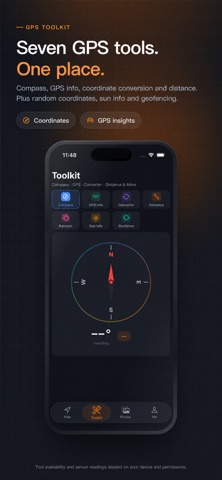
GPS Faker 365 is a clean GPS simulation and map toolkit for developers, testers, travelers, photographers, and advanced users who need to work with location data. Use it to search places, inspect coordinates, plan route simulations, preview movement, and manage photo GPS metadata in one focused app. Key features: • Search or select any place on the map • View coordinates, address details, and map context • Plan point-to-point routes and preview simulated movement • Use joystick-style movement controls for controlled route testing • Create AI-assisted route ideas for walking or travel scenarios • Edit, remove, or adjust photo GPS metadata for privacy and organization • Save favorite places and routes for quick reuse • Access practical GPS tools for coordinates, maps, and location workflows Common use cases: • Test location-based apps and map experiences • Preview travel or walking routes before using them • Work with coordinates for QA, design, content, or field notes • Clean or adjust photo location metadata • Learn how GPS routes and map data behave in different places Advanced features such as route simulation, extended movement controls, AI route planning, and photo GPS editing may require a subscription or one-time purchase. Important: GPS Faker 365 is intended for simulation, testing, educational, and visualization purposes only. It does not modify system-level location services. Please use it responsibly and follow applicable laws and third-party service terms. Privacy Policy: https://gps.unify365.net/web/pages/privacy-policy?lang=en Terms of Use: https://gps.unify365.net/web/pages/terms-of-service?lang=en
Utilities · iPhone, iPad · Free
Rating: 5.0 out of 5, based on 1 user ratings.