
Screenshots


About MilitaryTracker
MilitaryTracker brings public-source military and geospatial information together on an interactive global map. Explore bases, aircraft, vessels, conflict areas, satellite positions, and recent earthquakes in one tactical view. Pro members also get a new Daily Intel Brief every day.
GLOBAL MAP
Browse mapped military bases and available flight and vessel data. Filter layers and affiliations, inspect source information, and switch between standard and tactical visual styles. Some visual styles require Pro.
DAILY INTEL BRIEF
Pro members get a new intelligence brief every day, compiled from public dashboards and news reports. Each brief includes the full written analysis, headline market readings, and recent posts from Trump and the White House. Open it from the DAILY BRIEF button on the map, browse recent briefs, and turn on an optional daily notification when a new brief is published.
SATELLITES & SPACE
See verified near-Earth satellite positions calculated from public orbital elements when current data is available. Pro includes orbital pass forecasts for supported satellites. The app shows data age so you can assess freshness.
EARTHQUAKES
Enable the earthquake layer to explore recent magnitude 4.5+ events and view details from USGS.
PRO FEATURES
Unlock the Daily Intel Brief, expanded tactical details, target following for aircraft, vessels, and satellites, orbital pass forecasts, selected visual styles, fleet and flight tools, theater assessments, chokepoint monitoring, and other Pro features. Monthly, annual, and lifetime options are available in the app.
DATA SOURCES
Sources include OpenSky Network, USNI, USGS, CelesTrak, ACLED, and curated open-source datasets. Coverage and update frequency vary by source. Report-based locations may be approximate, and orbital predictions are estimates.
MilitaryTracker is intended for educational and informational purposes only. It is not an operational tracking or safety tool.
Apple Standard EULA: https://www.apple.com/legal/internet-services/itunes/dev/stdeula/
AVALW Coverage
Not yet mentioned in AVALW articles.
Similar apps


 BibleProfessional AI LaboratoryDaily Bible verses, devotionals, guided prayer, and scripture answers.★ 4.9 13865k


 Bible Offline-KJV Holy BibleBíblia OfflineHoly Bible KJV App for study - share verses of the day & study the words of God.★ 4.9 11673k
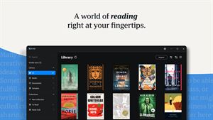
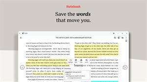
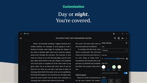
 Amazon Kindle: Reading AppAMZN KindleGot a Windows PC? You've got a Kindle. Kindle books you have bought on Amazon will automatically appear in your app. Turn your PC into a book with the free Kind★ 4.9 5867k


 Wattpad - Read & Write StoriesWattpad.comA story reading app: Read stories, novels and books, or write your own.★ 3.7 5023k


 Bible For Women-Holy Bible KJVBíblia OfflineBible verses, prayers, and daily devotionals crafted for Christian women.★ 4.9 3914k


 Al Quran IndonesiaPT Dalfindo Pustaka DigitalAl Quran dengan terjemahan Bahasa Indonesia dan terdapat Jadwal Sholat.★ 4.8 3617k


 King James Bible - Verse+AudioOzionInformative Bible KJV App. Bible study tool with audio books and daily verse.★ 4.8 2542k


 Muslim Pro: Quran Athan PrayerMD. NASAR UDDIN REDOYNurApp Muslim Pro is an all-in-one Islamic companion designed to support daily worship with accuracy, clarity, and ease of use. The app provides prayer times ba★ 4.1 1919k
More by this developer


 iVoxArchivesNaihe HuiVoxArchives is an independent, third-party archive and research tool for publicly available statements. READ THE ORIGINAL, UNEDITED This app gives you direct a-


 iBlockLedgerNaihe HuEver wanted to truly understand blockchain, rather than just hearing the buzzwords? App Connected is an interactive learning platform designed for tech enthusia-


 GoodBabyRecordNaihe HuBabyGuard is the perfect companion for new parents, designed to effortlessly track your baby's daily care and development. With a clean, intuitive interface, re-


 MyScreenShotBoxNaihe HuScreenShotBox is your intelligent screenshot management center, helping you effortlessly manage and organize screenshots across all your devices. Key Features: -